Welcome To
UAV-HiRAP!
This is an open-source, web-based platform provides services for UAV flight route design and image analysis
转到应用页
To App Page

Services

主要包括:无人机航线规划、图像分析、中国沙地基础地理信息数据库和长期定位观测样地720度全景.

route_design

Route Design

给定样地顶点坐标和无人机飞行参数设置,生成满足拼图要求的最佳航线规划,并支持导出为litchi 飞控配置文件。

route_design

Image Analysis

基于决策树分类算法,通过提交满足要求的训练集,实现无人机影像像素的自动分类。

route_design

China Dryland Database

提供中国沙地基础地理信息数据库服务。

route_design

Site Panorama View

长期定位观测样地(内蒙古浑善达克沙地)720度全景图浏览功能。

News

  • publish

    2023.9

    课题组赴内蒙古沙地疏林站、辽宁黑水站、辽宁章古台站进行数据采集和设备维护

    2023年9月8日,课题组成员李晓雅、杨凯捷及蔡依霏前往内蒙古榆树疏林大样地进行无人机数据采集和样地仪器维护、数据采集工作。随后三位成员对辽宁黑水站、辽宁章古台站的SIF设备、通量及液流等设备进行维修,此次工作成功发现了液流设备中存在的问题并顺利解决,为后期进一步研究奠定基础。

  • publish

    2023.8

    热烈祝贺实验室客座研究员丛巍巍老师获国家自然科学基金资助

    2023年8月24日,国家自然科学基金委员会公布了“2023年度国家自然科学基金申请项目评审结果”。热烈祝贺实验室客座研究员丛巍巍老师国家自然科学基金项目“基于日光诱导叶绿素荧光的沙区樟子松人工林光合水力过程模拟及光合生产力、水分利用解析”获得基金委2023年度资助!截至目前,Dryland Ecology Lab团队共获批6项国家自然科学基金项目,支持其围绕沙区生态系统开展基础研究,资助研究领域均为沙区植被生理、维持机制。

  • publish

    2023.8

    热烈欢迎专家前往内蒙古榆树疏林大样地考察

    2023年8月6日,中国科学院植物研究所祝燕老师及中国林科院生态所朱金雷老师,前往内蒙古榆树疏林观测大样地进行现场考察,课题组王锋研究员及硕士生蔡依霏陪同前往。考察期间,王锋研究员向两位老师详细介绍了样地的基本情况。此次考察完成了常规数据采集工作,并对样地的围栏进行了检查工作。


Our Team

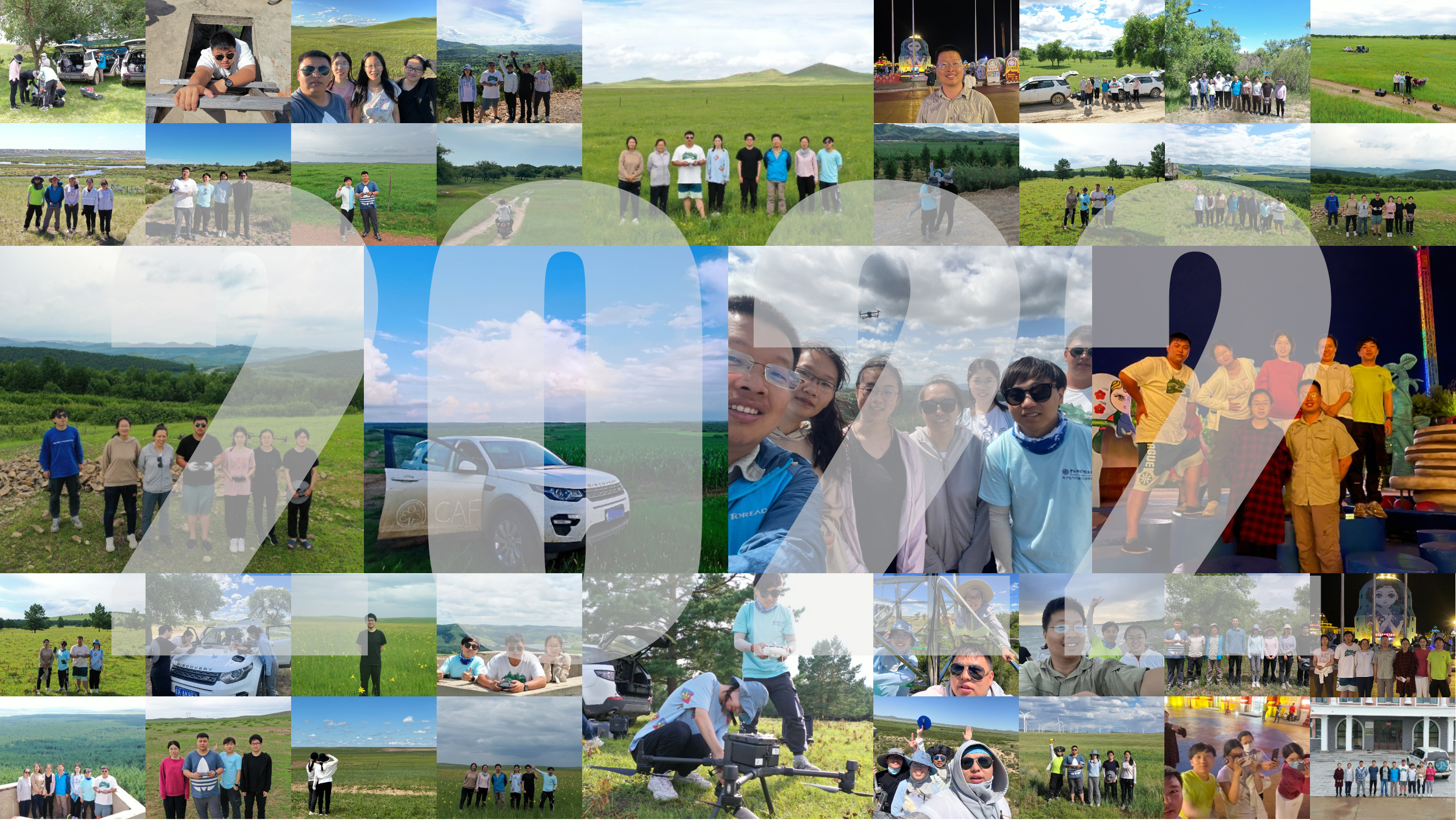
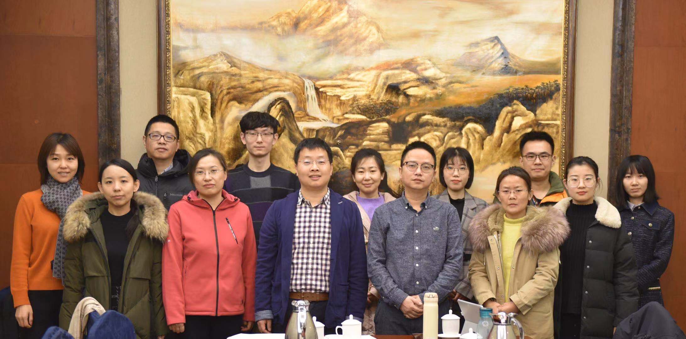
UAV-HiRAP是中国林业科学研究院荒漠化研究所的实验室。 实验室应用当前最新技术例如机器学习、无人机等,致力于发展观测、监测、评估和管理干旱区生态系统的新方法。 实验室提供实习生、硕士生、博士生和博士后位置。欢迎来自海内外学者的跨学科合作!
地址:北京市海淀区青龙桥街道槐树居路十号荒漠化研究所;E-mail:wangfeng@caf.ac.cn

UAV-HiRAP lab is a research group affiliated with Institute of Desertification Studies, Chinese Academy of Forestry. It is dedicated to develop the new method to observe, monitor, assess, and manage the drylands ecosystem by applying the state of the art technology such as artificial intelligence(AI), unmanned aerial vehicles(UAV), satellite and model. We offer Internship, Masters, Ph.D, and Postdoc positions and welcome research collaborations across disciplines. Address: No.10,Huaishu Road, Haidian District, Beijing; E-mail: wangfeng@caf.ac.cn

Publications

Papers

    2022

  1. Cheng, X., Hu, M., Zhou, Y., Wang, F., Liu, L., Wang, Y., Huang, H., & Zhang, J. 2022. The divergence of micrometeorology sensitivity leads to changes in GPP/SIF between cork oak and poplar. Agricultural and Forest Meteorology, 326, 109189.
  2. Shaomin Shi, Weiwei Cong, Sen Lu, Tianhong Zhao, Feng Wang, Qi Lu,Can SIF and NPQ be used in the photosynthesis rate simulation of plants subjected to drought? Environmental and Experimental Botany, Volume 203, 2022, 105067, ISSN 0098-8472.
  3. Cong W., Li X., Pan X., Liu X., Lu Q., Wang F*. 2022. A new scientific framework of dryland ecological quality assessment based on 1OAO principle. Ecological Indicators, 136, 108595.
  4. Cong W., Yang K., Wang F*. 2022. Canopy Solar-Induced Chlorophyll Fluorescence and Its Link to Transpiration in a Temperate Evergreen Needleleaf Forest during the Fall Transition. Forests 2022, 13, 74.
  5. 2021

  6. 李晓雅, 田昕, 段涛, 曹晓明, 杨凯捷, 卢琦, 王锋*. 2021. 从无人机到卫星——基于机器学习的温带疏林草原木本和草本植被盖度估算. 遥感学报.DOI:10.11834/jrs.20210605.
  7. Zhang, Y., Zhang, Q., Liu, L., Zhang, Y., Wang, S., Ju, W., et al. 2021. ChinaSpec: A network for long-term ground-based measurements of solar- induced fluorescence in China. Journal of Geophysical Research: Biogeosciences, 126, e2020JG006042.
  8. Cheng, X.; Zhou, Y.; Hu, M.; Wang, F.; Huang, H.; Zhang, J. 2021. The Links between Canopy Solar-Induced Chlorophyll Fluorescence and Gross Primary Production Responses to Meteorological Factors in the Growing Season in Deciduous Broadleaf Forest. Remote Sensing.13(12), 12.
  9. Wu Y., Zhang J., Wang F., Song Y., Ji J., 2021. Simulations of spatial patterns and species distributions in sandy land using unmanned aerial vehicle images. Journal of Arid Environments 186: 104410.
  10. 2020

  11. Wang F, Pan X, Gerlein‐Safdi C, Cao X, Wang S, Gu L, Wang D, & Lu Q. 2020. Vegetation restoration in Northern China: A contrasted picture. Land Degradation & Development, 31(6), 669–676.
  12. Gerlein-Safdi C, Keppel-Aleks G, Wang F, Frolking S, Mauzerall D. 2020. Satellite Monitoring of Natural Reforestation Efforts in China’s Drylands. One Earth, 2(1), 98–108.
  13. Kattge J, … Wang F, …, Wirth C. 2020. TRY plant trait database – enhanced coverage and open access. Global Change Biology, 26(1), 119–188.
  14. 2019

  15. Wang H, Han D, Mu Y, Jiang L, Yao X, Bai Y, Lu Q, Wang F*. 2019. Landscape-level vegetation classification and fractional woody and herbaceous vegetation cover estimation over the dryland ecosystems by unmanned aerial vehicle platform. Agricultural and Forest Meteorology, 278: 107665.
  16. 王锋*, 卢琦. 2019. 沙地樟子松散生单木的天然更新幼苗空间分布模型. 林业科学, 55(8):1-8.
  17. 姚雪玲, 姜丽娜, 李龙, 王锋, 吴波, 郭秀江. 2019. 浑善达克沙地6种灌木生物量模拟. 生态学报, 39(3):905-912.
  18. 吴隐, 韩东, 姚雪玲, 张静, 王锋*. 2019. 基于无人机高分辨率航空影像的榆树疏林空间分布格局及其地形效应. 热带地理, 39(4):531-537.
  19. Wu R, Cong W, Li Y, Li S, Wang D, Jia Z*, Wang F*. 2019. The Scientific Conceptual Framework for Ecological Quality of the Dryland Ecosystem: Concepts, Indicators, Monitoring and Assessment. Journal of Resources and Ecology, 10(2): 196-201.
  20. Wang S, Wang J, Zhang L, Xiao Z, Wang F, Sun N, Li D, Chen B, Chen J, Li Y, Wang X, Wang M. 2019. A National Key R&D Program: Technologies and and Guidelines for Monitoring Ecological Quality of terrestrial ecosystems in China. Journal of Resources and Ecology, 10(2): 105-111.
  21. 2018 2017

  22. 韩东, 王浩舟, 郑邦友, 王锋*. 2018. 基于无人机和决策树算法的榆树疏林草原植被类型划分和覆盖度生长季动态估计. 生态学报. 38(18): 6655⁃6663.
  23. Mu Y, Wang F*, Zheng B, Guo W, Feng Y*. 2018. A rapid image-based method to determine the morphological characteristics of gravels on desert pavement. Geomorphology. 304, 89–98.
  24. 穆悦, 冯益明, 高翔, 韩东, 吴隐, 张谱. 2018. 基于无人机图像的戈壁表面砾石特征变化研究. 林业科学研究, 31(2):55-62.
  25. Feng Wang*. 2017. Artificial intelligence in research: UAV and artificial intelligence. Science. 357: 28-29.

Conference

  1. 王锋. 榆树疏林草原结构-功能“星-空-地”一体化监测. 第七届青年地学论坛. 脆弱生态系统保护与修复分会场. 中国贵阳. 2021年7月9-11日.
  2. 杨斌. 基于卷积神经网络的榆树疏林单木检测和分割研究. 第七届青年地学论坛. 脆弱生态系统保护与修复分会场. 中国贵阳. 2021年7月9-11日.
  3. 杨凯捷. 季节变更对樟子松日光诱导叶绿素荧光与冠层光合作用关联的影响. 第七届青年地学论坛. 脆弱生态系统保护与修复分会场. 中国贵阳. 2021年7月9-11日.
  4. 李晓雅. 温带疏林草原的分布与制图研究. 第七届青年地学论坛. 脆弱生态系统保护与修复分会场. 中国贵阳. 2021年7月9-11日.
  5. 王锋. 荒漠-草原生态系统“星-空-地”一体化监测. 第27个世界防治荒漠化与干旱日纪念活动暨荒漠化防治高质量发展学术论坛——青年论坛. 中国西安. 2021年6月15-17日
  6. 李晓雅. 从无人机到卫星——基于机器学习的温带疏林草原木本和草本植被盖度估算. 第19届中国生态学大会生态遥感分会场. 2020年11月21-23日.
  7. 王锋. 荒漠-草原大样地生态监测与技术进展. 2020年度荒漠-草原观测研究野外站联盟工作会议暨学术研讨会. 中国乌海. 2020年10月15-18日.
  8. Feng Wang. Sun-induced chlorophyll fluorescence of four temperate tree species under short-term heat events. AGU 2019. San Francisco, CA, USA. 9-13 December, 2019.
  9. 王锋. 基于无人机和机器学习的干旱区植被检测工具及在生态学野外取样设计的启示. 第六届青年地学论坛. 2019年10月12-16日.
  10. 韩东. 高强度放牧对温带半干旱区榆树疏林木本植物的破坏更明显. 第六届青年地学论坛. 2019年10月12-16日.
  11. 姬婕. 基于无人机平台的浑善达克沙地榆树疏林草原植被生物量估算. 第六届青年地学论坛. 2019年10月12-16日.
  12. 王锋. Sun-induced chlorophyll fluorescence detects the response of tree species to extreme heat events. EGU General Assembly 2019. Vienna, Austria, 12-17 April.
  13. 王锋. UAV-HiRAP: 基于无人机平台的植被分类和盖度估计工具及在生态学野外取样设计的启示. 第二届无人机生态/地理应用研讨会. 中国广州,2018年12月26-28日.
  14. 王锋. 植被与荒漠化。中国林业科学研究院“林科讲坛”,2018年12月17日.
  15. 王锋. UAV-HiRAP: 基于无人机平台的旱地生态系统植被分类和盖度估计工具.第一届植被遥感学术研讨会.中国南京,2018年10月26-28日.
  16. 韩东. 基于无人机和机器学习算法的榆树疏林草原植被分类和覆盖度动态估计. 第17届中国生态学大会,生态遥感与应用分会. 中国南京,2018年5月4-6日.
  17. 王锋. 耦合无人机和机器学习算法的沙地植被分类研究. 全国自然地理学大会. 中国南京, 2017年11月20-22日.
  18. Wang Haozhou. 2017. UAV-HiRAP: A novel method to improve landscape-level vegetation classification and coverage fraction estimation with unmanned aerial vehicle platform. The 12th International Congress of Ecological (INTECOL). Beijing, China, August 21-25, 2017.
  19. Mu Yue. 2016. The gravel coverage and size of Gobi desert analyzed by a rapid image-based method. IUFRO Regional Congress for Asia and Oceania 2016. Beijing, China, October 24-27, 2016.(海报)
  20. Wu Yin. 2016. A novel spatially explicit model for sparse forest pattern based on digital terrain data. IUFRO Regional Congress for Asia and Oceania. Beijing, China, October 24-27, 2016. (海报)

Software copyrights

  1. 无人机高精度影像分析平台[简称: UAV-HiRAP] v3.0 2019. 软著登字第2019SR0286422
  2. 中国沙地基础地理信息数据平台[简称:GIP-DLC] v2.0 2018. 软著登字第2018SR921265
  3. 无人机高精度影像分析平台[简称: UAV-HiRAP] v2.0 2017. 软著登字第2017SR558256
  4. 无人机高精度影像分析平台[简称: UAV-HPIAP] v1.0 2016. 软著登字第2016SR198498
  5. 中国沙地基础地理信息web系统. 2016. 软著登字第2016SR036010

Invention Patents

  1. 一种基于无人机的景观尺度植被覆盖度的计算方法及系统:2019.中国,20160913357.8